


On November 12-14, Karten Space was exhibiting at EUW19 in Paris, as we were one of the innovation suppliers selected by Enel Group to join them in the #EnelInnovationHubs booth. During these 3 fruitful days, Karten Space presented the success stories and intelligence solutions delivers to Enel for a more sustainable energy sector. Contact us […]
Read more Karten Space exhibiting at European Utility Week 2019 with Enel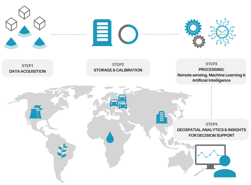
About
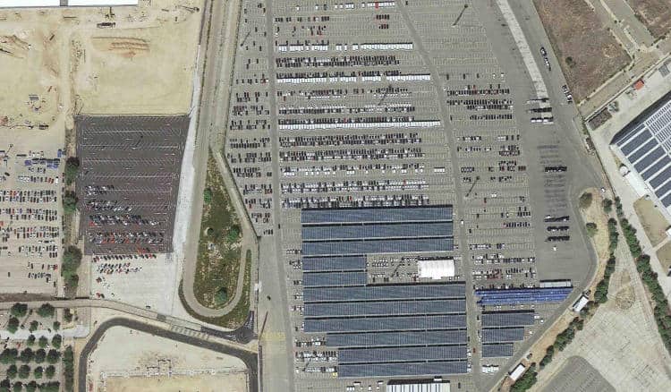
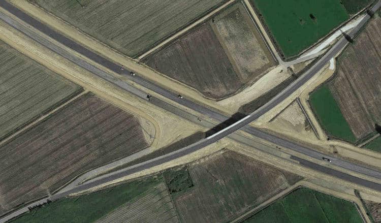
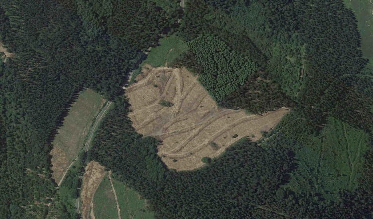
In Karten Space we use remote sensing, deep learning and artificial intelligence techniques to turn satellite imagery into value-added business outcomes to support industrial companies in their manage and decision making processes.
We are a global and independent company working with all satellite image providers, to ensure to our clients always the best data for their business.
To improve our value chain, we are also developing our own constellation of nanosatellites for the Earth Observation.
We are a global and independent company working with all satellite image providers, to ensure to our clients always the best data for their business.
To improve our value chain, we are also developing our own constellation of nanosatellites for the Earth Observation.